Sunday after worship at Zion Lutheran in Klamath Falls, OR, we drove north to Crater Lake NP. On the way we stopped for a delicious lunch at the Lodge on the piney shores of Lake of the Woods.
Crater Lake was formed over 7,000 years ago when Mt. Mazama errupted leaving this hugh crater over six miles across and almost 2,000 feet deep. The lake holds nearly five trillion gallons of very pure water.
There are no rivers either in to or out of Crater Lake. The lake maintains a constant level. There are two islands, the large island, Wizard, and a small island, Phantom Ship.
A rim road surrounds Crater Lake. However, the East Rim Drive does not open until July due to deep snow. We plan to return later in the summer to drive the East Rim and take the boat tour of the lake.
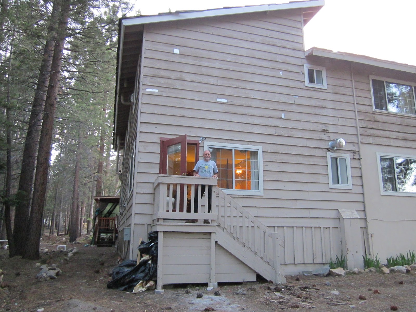
Our Home
Sunday, June 9, 2013
Working at Klamath Basin, Tulelake Refuge
Well, we have already completed two weeks of work. Our primary job here is to staff the visitor center and run the bookstore three days a week. Our trailer pad is just about 200 yards from the visitor center, so it's an easy walk to work each day. The Klamath Basin National Wildlife Refuges is a complex of six refuges, all managed out of the office in Tulelake, California. Four of the refuges, Tulelake NWR, Lower Klamath NWR, Upper Klamath NWR and Klamath Marsh NWR are open to the public. Bear Lake NWR and Clear Lake NWR are closed to public access. The visitor center ranger, has given us plenty of road time to explore the area and learn about all six refuges. The primary emphasis of the Klamath Basin Refuges is on migratory birds. Over 350 species of birds have been observed in the Basin. The Discovery Marsh Trail, a one mile loop trail through riparian wetland, is just across the street from the visitor center. We particularly enjoy taking this walk in the evening. We have seen many interesting birds including American Avocet, Tri-colored Blackbird, Yellow Headed Blackbird, California Quail, California Towee, Black Crowned Night Heron, Bullock's Oriole, Ring-Necked Pheasant, American Bald Eagle, both chicks and juvenile, and a full assortment of ducks. We are impressed with the scores of white faced ibis that fly overhead moving to their evening roost. The Clark, Western and eared Grebes are abundant out on Tule Lake. We have a family of yellow bellied marmots living in the rocks behind our trailer pad. Of course, we have frequent sightings of mule deer and other furry creatures. So we are learning lots and are happy to spend our summer here in this beautiful area.
![]() |
| This doe smelled our flowers and decided they would make a better head scratch than a meal. That suits us better too! |
Wednesday, May 29, 2013
We have arrived at Klamath Basin NWR, Oregon
We are settling in at our site next to the biology building. We arrived today after lunch. Hallie, our supervisor, gave us a tour and introduced us around to the large staff. We plan to start work on Friday morning.
Tuesday, May 28, 2013
Reno/Sparks and Carson City
| Streets of Virginia City. Nevada |
On a loop tour from Carson City back to Reno/Sparks we drove up the Comstock Load Highway with a 15% grade. This road passes through Silver City and Virginia City. Built on a steep hillside, Virginia City looks much like it did 150 years ago. The Comstock Load yielded over $250,000,000 worth of silver and gold in its heyday.
Also in Virginia City, Saint Mary's in the Mountains, rebuilt in 1875, after fire destroyed it, is known as the cradle of Catholicism in Western Nevada.
A trip to Reno wouldn't be complete without a stop at the Casinos. Memorial Day we went downtown and entertained ourselves at the three interconnected properties of Circus Circus, the Eldorado and the Silver Legacy. Inside the Silver Legacy is a lofty dome containing an enormous mining rig contraption complete with fake thunderstorms that fire up each hour. We found an excellent lunch buffet at the Eldorado. The slots weren't as generous as some, but it did take a while to loose our alloted money in the penny machines.
Reno's really big on Bowling. Major tournaments take place here regularly. The National Bowling Stadium, downtown, has 78 championship lanes as well as a 440 foot video screen that projects state of the art scoring graphics. We sat in the free balcony and watched a game.
Friday, May 24, 2013
Yosemite Part 6 - Taft Point
On our last day in the park, with the sky very clear, we decided to drive back up Glacier Point Road with the intention of hiking Sentinal Dome again. As mentioned in Yosemite Part 1, our previous hike here was cloud covered.
When we arrived at the trail head, we noticed that the pre-Memorial Day crowds were increasing. Most everyone took the trail to the right at the junction to Sentinel Dome, so we turned left toward the less popular Taft Point trail.
We were rewarded with fabulous views of Yosemite Valley. The dizzying heights were overwhelming at first.
We found ourselves standing on the edge of a shear drop off of over 3,000 feet.
The easy 2.2 mile trail from the parking lot leads you past large fissures in the granite that seem to drop off into oblivion. These five huge cracks, often referred to as the "5 Fissures," shoot straight to the valley floor, so you don't want to venture into them. We also found them impossible to photograph.

From this overlook you can see Yosemite Falls, Cathedral Spires, Mt. Hoffman and El Capitan. Kurt is standing on the ledge below the ledge of the man in the red jacket in the previous picture.

Not to be outdone, here we are together on the same ledge. Notice we are holding hands for stability.
We stopped at Washburn Point for another look at the valley and to have some lunch. Nevada Falls can be seen between the two trees in this picture. This trail is the easiest and the shortest trail in the park.

From here you can see Half Dome, Illilouette Falls, Nevada Falls, and the pictured Vernal Falls.

Our last stop was the Swinging Bridge Hike off Forest Drive near the Wawona Hotel.
We enjoyed our visit at Yosemite. We spent six days inside the National Park. Although we felt like we did it justice, to see it all could have taken the rest of the summer.
When we arrived at the trail head, we noticed that the pre-Memorial Day crowds were increasing. Most everyone took the trail to the right at the junction to Sentinel Dome, so we turned left toward the less popular Taft Point trail.
We were rewarded with fabulous views of Yosemite Valley. The dizzying heights were overwhelming at first.
We found ourselves standing on the edge of a shear drop off of over 3,000 feet. The easy 2.2 mile trail from the parking lot leads you past large fissures in the granite that seem to drop off into oblivion. These five huge cracks, often referred to as the "5 Fissures," shoot straight to the valley floor, so you don't want to venture into them. We also found them impossible to photograph.

From this overlook you can see Yosemite Falls, Cathedral Spires, Mt. Hoffman and El Capitan. Kurt is standing on the ledge below the ledge of the man in the red jacket in the previous picture.

Not to be outdone, here we are together on the same ledge. Notice we are holding hands for stability.
![]() |
| Full view, looking down, at Upper and Lower Yosemite Falls |
![]() |
| Spring flowers along the trail |
We stopped at Washburn Point for another look at the valley and to have some lunch. Nevada Falls can be seen between the two trees in this picture. This trail is the easiest and the shortest trail in the park. 
From here you can see Half Dome, Illilouette Falls, Nevada Falls, and the pictured Vernal Falls.

Our last stop was the Swinging Bridge Hike off Forest Drive near the Wawona Hotel.

We enjoyed our visit at Yosemite. We spent six days inside the National Park. Although we felt like we did it justice, to see it all could have taken the rest of the summer.
Wednesday, May 22, 2013
Yosemite Part 5 - Mono Lake
![]() |
| Mono Lake |
These odd looking structures are formed when clear ground water bubbles up through the floor of this very salty alkaline lake. The calcium carbonate chemically form into the limestone "tufas" as the water bubbles up.
These very old tufas have been exposed since the streams feeding the lake were diverted in the 1950's, causing the lake level to drop up to 50 feet.
![]() |
| Bodie State Historic Park |
In the afternoon we visited a ghost town at Bodie State Historic Park. This old gold mining town reached its heyday in the 1870's.
At one time Bodie had a population of over 10,000 people and over 2,000 buildings. By the 1880's the mines were depleted, and fire had ravished the town causing many to leave. By 1940 it had become a ghost town. In 1962, the small part of the town that survived was designated a state historic park. What remains of the town of Bodie is now preserved in a state of "arrested decay." Preserved as it was when the last residents left. In fact, many of their possessions can still be found inside the buildings.
![]() |
| Bodie -- a town so lawless that in 1881 it was described as "...a sea of sin, lashed by the tempests of lust and passion." Quote by Reverend F. M. Warrington |
![]() |
| Tioga Pass Entrance Elevation 9,945 feet |
Yosemite Part 4 - Tioga Road
![]() |
| Olmsted Point |
One of the Park's most spectacular vistas can be seen on Olmsted Point, where we witnessed the immense power of the glaciers. We took an excellent short hike here to see the sights.

Tenaya Lake, at around 8,000 foot elevation, is yet another example of a park feature that was created by the glaciers.
![]() |
| Lembert Granite Dome in Tuolumne Meadows Elevation 8,575 feet |


Subscribe to:
Posts (Atom)