

 |
| Home Sweet Home It's really nice having a roof over our 5'er. |
We took a two day, overnight, circle trip, Thursday (6/11) and Friday. First we headed southwest to the Twin Falls area. Friday we continued north through Sun Valley and into the Sawtooth Recreation Area and the mountain town of Stanley before turning back toward home through the Lost River Valley and right past Idaho's tallest Peak, Mt. Borah (el. 12,662).
Our first stop was a picnic lunch at Malad Gorge State Park. People pass by on the Interstate in a blink of an eye never suspecting this 250 foot deep gorge close by.


 |
| Driving Highway US 30 East Traveling the Niagara Springs State Park Trail, where a thousand falls flow out of the cliff face. |
 |
| Delicious homemade ice cream at the
Clover Leaf Creamery in Buhl, Idaho. |


 |
| The Beautiful Town of Sun Valley |
 |
| Sawtooth Scenic Route |
 |
| Frank Church Scenic Overlook near Galena Peak |
 |
| Redfish Lake, south of Stanley |
 |
| Salmon River Gorge at Sunbeam Hot Springs |
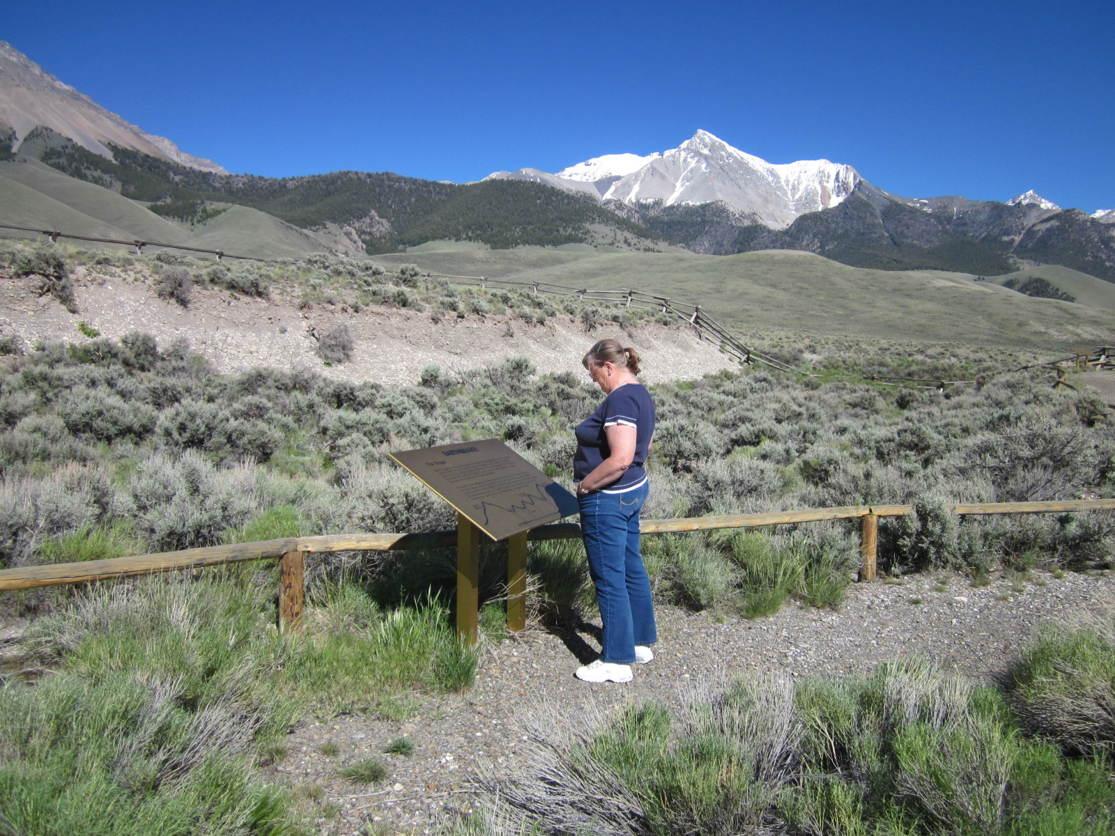
Our last stop was unplanned but very interesting. In October, 1983, a 7.3 earthquake formed a 21 mile long scarp near the base of Borah Peak. The movement of the rupture was up and down and is called a "high angle dip slip fault." This is clearly visible in the foreground of the picture with snow covered Borah Peak in the background. This earthquake dropped the valley 7 1/2 feet, raised the mountain over a foot and caused new springs and craters to develop. More than 400 billion gallons of water gushed from the ground. The quake did over $15,000,000 of damage to roads and the surrounding towns.
No comments:
Post a Comment